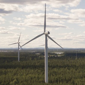
Cyclomedia
Where seeing is believing
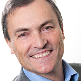
With its headquarters centrally located in Zaltbommel, the Netherlands, Cyclomedia is to the business user what Google Earth is to the consumer, with an imagery and LiDAR (Light Detection and Ranging) point cloud database that is accessible via the Internet anywhere, anytime and with any device. “Although,” as Bart Beers points out, “our service is not free!” It was some thirty years ago that Bart Beers, a geodesy graduate of the TU Delft who specialised in photogrammetry, co-founded this SME. Currently employing around 120 people in the Netherlands alone, Bart is the CTO and has the privileged role of managing the research and innovation activities that are the heartbeat of this dynamic worldleading player in the field of Geographic Information Systems (GIS) and Insights. Here he tells us about the company’s origins, its business evolution and the role that Cyclomedia has played in the ITEA Community and vice versa.
Lockdown opens up possibilities
But understandably, and even relevantly, the conversation kicked off on the subject of COVID-19. While seemingly paralysing social and business life as we have known it until very recently, the pandemic has actually benefited the outdoor activities of Cyclomedia. “We earn a living by bringing the data and insights we collect outdoors into the database our clients use. And, paradoxically, that physical recording process has been made easier by the lockdown situation. Take New York City, one of our customers. Twice a year we physically record the city. You can imagine what this is like on the ground with all the traffic congestion. Now we drive unhindered on vacant highways that you would normally drive in low gear! And in terms of working from home – well, it’s a different environment but we can still do our work as usual. The Cloud is our companion – for data, for processes, for data analytics and for software development.”
From mono to multidirectional
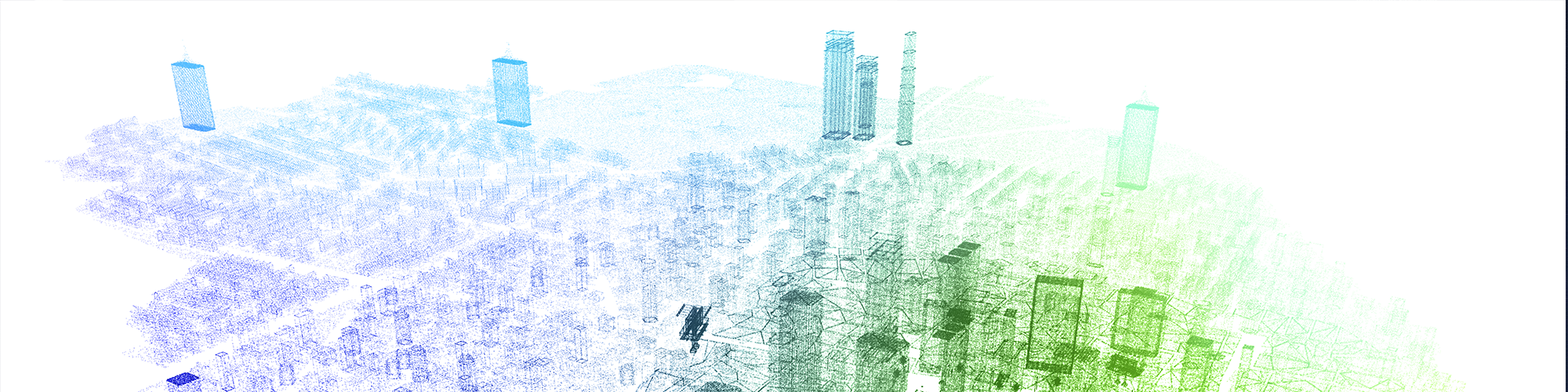
“After graduating I became a scientific assistant and got involved in a project to develop a new mapping system that made use of street-level photos to construct accurate maps as was already being done similarly from the air, but then at lower accuracy. Of course accurate methods existed for map-making on the ground but these were rather inefficient. This was in the early eighties when there was hardly any digitalisation. It was all fish-eye lenses and measuring optomechanically. Then came funding for IT initiatives, and we saw mapmaking heading in that direction – after all, our job was to gather information using technology. Everything began to gain momentum and by 1993 we had a system in operation for measuring digitally, although recordings were still made on black and white roll film that had to be developed and digitised subsequently. In 1995 we were commissioned by the city of Rotterdam to map the city. We were able to make panorama views at intervals of 20 metres and these were sent to the relevant councillors by the ISDN route – internet as we know it had yet to be invented. A series of developments followed and, to cut a long story short, at the turn of the millennium we had a system that could record digitally and in colour at once. And we could benefit from the availability of the internet. But we still had to stop the car for each recorded image. So there was a lot to be gained in terms of efficiency. Fast-forward to 2007, and we had a system that was able to continuously record images on the road without sacrificing geometric image quality. This differs from the Google system where the images are made by separate cameras and then cosmetically stitched together. What we did was to patent a technology whereby you can record in all directions from one position – while on the move. This proved to be such a success that we soon had half of all the municipalities in the Netherlands as customers. This gave us the encouragement to take things up a notch. So, we approached utility companies, banks and insurance companies in addition to the ‘missing’ municipalities, and now we could proactively start covering the Netherlands completely.”

International dimension
Cyclomedia soon began to expand internationally, with branches in Germany where it largely maps cities and undertakes projects in other European countries such as France, the UK, the Czech Republic and the Nordic countries. In the US Cyclomedia has 16 of the 25 largest cities as customers. “A very interesting and quite huge assignment we got there,” Bart continues, “relates to the wildfires that broke out in California in 2018 for which a utility company was held responsible – in a lot of locations their above-ground cables were touching vegetation, thus setting it on fire. The utility company needed to show the authorities that it could address such situations in the future, otherwise it would probably be out of business. Cyclomedia put its technology, in the meantime augmented with accurate LiDAR point clouds, to good use to automatically determine the precise location of such unsafe situations. Having the exact locations enabled the utility company to have vegetation pruned down properly. And in a second run we could repeat our process to see whether the pruning had been done correctly. This was a very good demonstration of the value of our technology.”
Synergy
“As you can imagine, R&D is a key component of our work,” Bart explains. “Our R&D department has 40 professionals and they serve various interests within the company. As CTO I am very involved with the R&D department, of course. In my role I also try to acquire publicly funded research projects. The benefit here is that such projects accelerate the innovation process, like the ITEA PS-CRIMSON project whereby we worked together with external partners on a specific goal. This really generated a terrific level of synergy. With Dutch and Canadian partners particularly. Of course, you might expect synergy from an intrinsic point of view but just as significant was what we gained from working together, the different approaches, people, cultures. This provided a great learning environment. Indeed, with a number of the consortium partners, we are progressing into a subsequent project, SMART. It’s a somewhat different subject but Cyclomedia will be taking its technology component – 3D information – a step further in this new project. What we intend to do is to automate from our street data what has generally been a largely manual process to date.”
Constructive and positive
“The ITEA approach is based on getting real tangible results – impact – and that is what appeals to us. Also, the reviews are very useful – they are constructive and look to resolve issues and problems along the way. For example, despite a couple of partners dropping out, we still managed to fulfil the objectives we set out to achieve. So I’m very positive about the ITEA programme and I look forward to being part of the follow-up project SMART.”
More information
www.cyclomedia.com/
Other articles
Use the arrows to view more articles

Editorial
By Philippe Letellier
Country Focus: Finland
Leapfrogging into the future
Empower IM Oy
Empowering the digital energy economy
Online ITEA Project Outline Preparation Days 2020
We look forward to connecting (with) you!

ITEA Success story: SCALARE
Systematic guidance to decision makers for scaling scenarios

Community Talk with Robyn Woods
and a panacea for care
End user happiness: eWatch
Extensive health monitoring platform
SME in the spotlight: Cyclomedia
Where seeing is believing

ITEA Success story: M2MGrids
From vertical M2M silos towards smart interoperable Cyber-Physical Systems

Practise what you preach
The story of a Cluster’s quality system

Collaborative, automated and trusted
Future methodologies for effective cybersecurity

Introducing the ITEA 3 Call 6 projects
A Community in motion